Heads up, Surat Thani! Expect unusually high tides and potential flooding in Ko Samui and Mueang Surat Thani between December 3rd and 11th, 2025, with sea levels rising 2.5-3.1 meters. Stay safe, avoid rough waters, and monitor official updates from the Royal Thai Navy’s Hydrographic Department.
SuratThani #KoSamui #MueangSuratThani #HighTides #FloodAlert #ThailandTravel #CoastalSafety #TravelAdvisory #StaySafe #ThaiNavy #OceanAwareness #VacationSafety #TropicalWeather #IslandLife #BeachSafety #SuratThaniTourism
Official Alert and Timeframe
Local authorities in Surat Thani Province are warning residents and visitors of a significant increase in sea levels expected between December 3 and 11, 2025. This announcement is based on monitoring conducted by the Hydrographic Department of the Royal Thai Navy, which forecasts unusually high tides during this period.
Projected Sea Level Rise
Sea levels in the affected areas are anticipated to reach between 2.5 and 3.1 meters above the mean sea level. Such elevations are above the usual tidal patterns, increasing the likelihood of coastal flooding in vulnerable zones.
Districts Impacted by High Tides
Nine key districts within Surat Thani Province have been identified as at increased risk due to their proximity to the coastline and low-lying geographical features. These districts include:
- Tha Chana District
- Chaiya District
- Tha Chang District
- Phunphin District
- Mueang Surat Thani District
- Kanchanadit District
- Don Sak District
- Ko Samui District
- Ko Pha-ngan District
Residents and businesses in these districts, particularly in shoreline communities, are advised to be especially vigilant and prepared for potential inundation.
Precautions for Coastal Residents
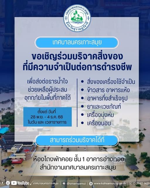
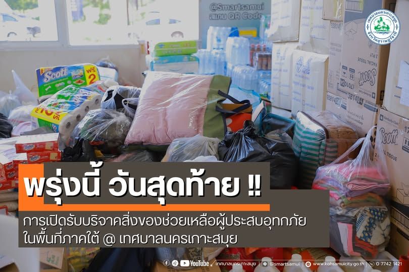
People living in low-lying or flood-prone areas should stay updated through official weather and safety bulletins. Preparations may include moving valuables to higher ground, reinforcing property against water ingress, and planning evacuation routes if advised by local authorities. Those with underlying health conditions should have medications and essential supplies ready in case of temporary relocation.
Tourist and Maritime Advisory
During the alert period, tourists are explicitly prohibited from swimming, especially when strong waves or storm surges are observed. Coastal recreational activities should be postponed, and tourism operators are urged to abide by all safety directives.
For mariners and small boat operators, heightened caution is required when operating in and near affected waters. Should sea or weather conditions deteriorate further, vessels are advised to stay at port and avoid unnecessary journeys. Advance checks on vessel readiness, life-saving equipment, and communication tools are strongly encouraged.
Local Response and Support Resources
Local disaster prevention and mitigation offices, as well as municipal officials in urban and island districts, will be actively monitoring the situation. Information hotlines and local radio stations may provide real-time updates. Community volunteers and support groups will mobilize to assist with any necessary evacuations or emergency response.
Environmental and Infrastructure Considerations
A rise of this magnitude in sea level can exacerbate coastal erosion, damage agricultural lands, and disrupt local infrastructure such as roads and drainage systems. Ongoing monitoring will help authorities manage flood defenses, deploy pumps, and provide humanitarian assistance where needed. Coastal conservation efforts may also be intensified to protect mangroves and natural buffers, reducing the long-term impact of recurrent tidal surges.
General Safety Guidance
• Monitor local weather updates from the Royal Thai Navy and provincial offices.
• Avoid travel in flood-prone areas during high alert periods.
• Prepare emergency supplies and be familiar with evacuation routes.
• Follow all guidance from safety officials and emergency services.
• Remain in contact with neighbors, especially the elderly or those requiring special assistance.
Residents and visitors are encouraged to pay close attention to official channels for detailed information and further developments regarding sea level changes in Surat Thani Province.
Frequently Asked Questions
Frequently Asked Questions (FAQ)
What areas in Surat Thani will be most affected by the December 2025 high tides and possible flooding?
Residents and visitors in nine key districts – Tha Chana, Chaiya, Tha Chang, Phunphin, Mueang Surat Thani, Kanchanadit, Don Sak, Ko Samui, and Ko Pha-ngan – should prepare for sea levels rising between 2.5 and 3.1 meters, particularly in low-lying and coastal areas.
What safety precautions should residents and tourists take during the high tide alert period?
During December 3–11, 2025, everyone is urged to stay informed via official updates, avoid beach and water activities, prepare emergency supplies, check evacuation routes, and follow instructions from local authorities and emergency services.
Where can I get updates or help during the sea level rise event in Surat Thani?
Monitor real-time alerts and information from the Royal Thai Navy Hydrographic Department, local disaster offices, municipal officials, and local radio stations. Community volunteers and support groups will also be available to assist with evacuations or emergencies.